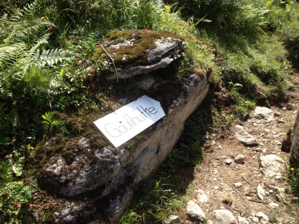
The “Gaulihütte”, a little mountain hut in the Bernese alps is remote. Surrounded by mountain peaks there are no signs of civilitation. There is no cell service. And only a five-hour hike and some 1600 meters of altitude gain lead this beautiful little refuge. It is the perfect place for resetting – or taking on more challenging adventures.
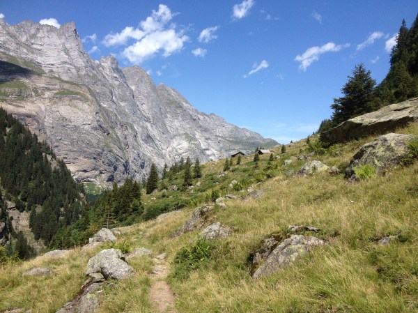
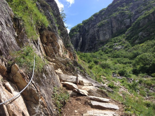
The trail to the Gaulihütte starts at Innertkirchen, where a parking lot marks the trailhead. It leads through the valley Urbachtal, beginnig on a wide field road and then trhough some cattle pastures, until a small bridge crosses a mountain creek. It is all uphill from there. Switchback after switchback and some easy scrambling lead you ever higher into the alps of the Bernese Oberland.
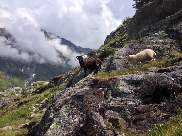
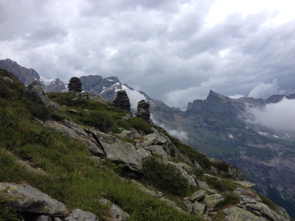
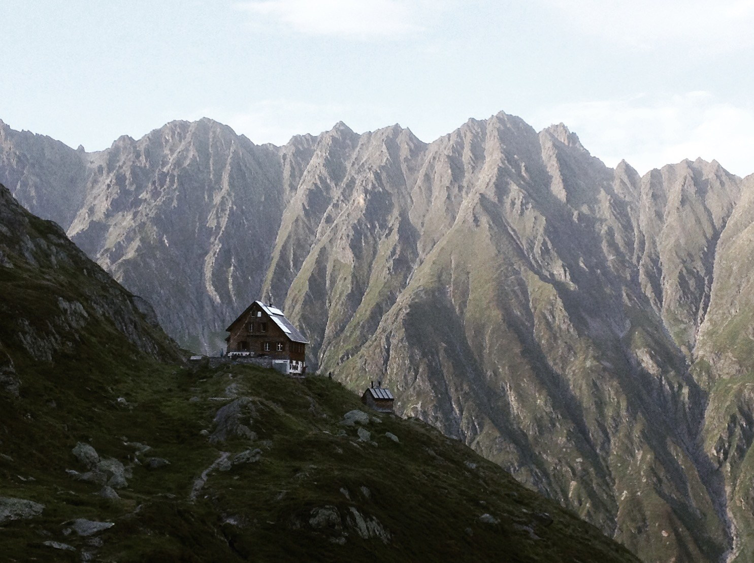
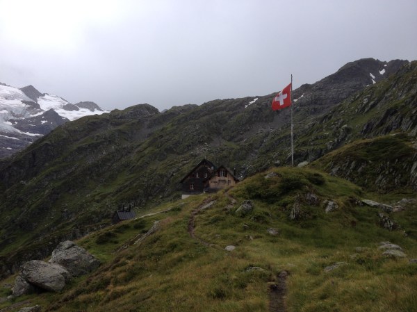
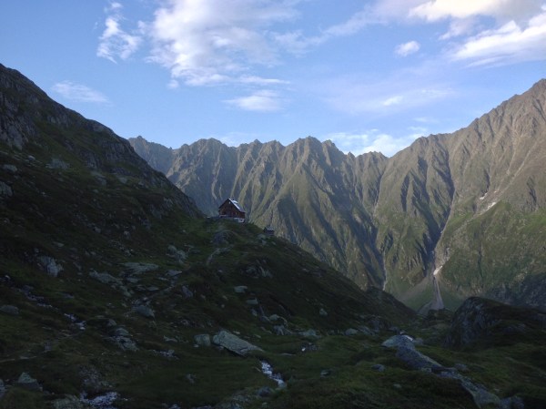
At last you reach a panorama trail, leading you to the end of the valley. There the rustic Gaulihütte awaits you on an altitude of 2205 meters. It is beautiful old building covered in wooden shingles, and offers sleeping space in the bunk dorm for 80 tired hikers. The common room is small but cosy, the dinner (the same menu is served for everyone at the same time, as is common in alpine huts) is plenty and tasty, and the view from the large terrace is simply stunning: The mountain peaks seem to build a fortress around the hut, and in front of the hut lies the serene glacier Gauligletscher.

On this glacier 1946 a Dakota airplane crashed. The twelve passengers and pilots could all be rescued alive – it was this one of the birth moments of the Rega, the Swiss alpine search and rescue unit. The plane wreck however soon disappeard beneath a thick blanket of ice. It wasn’t until 2012 that bits of the wrack reappeared: a propeller suddenly peaked out of the ice. The warm summer of 2015 made even more of the plane visible. Today the wreck can be visited – with the help of a mountain guide something accessible even for those not quite as experienced in hiking across glaciers.

For whom this is still too adventurous, there is the beautiful way back out of the valley – either along the same trail, or a different route that descends along a little creek and follows an icy cold glacier lake out of the valley back to Innertkirchen.
Information:
Check with the hosts of Gaulihütte for reservation and information on trail conditions. (www.gaulihuette.ch or +41 (0) 33 971 31 66). Especially during spring and fall the creek near Schrätteren might be hard to pass.
This article was first published in German for the Swiss hiking trails association. Check out their many hiking suggestions here. And please consider supporting them – they keep your trails well maintained and marked after all.

One-Time-Donation
I love writing about the places I discover, and want to keep this website free. However, if you find something of use and inspiration to you on my blog, please consider a donation. It will keep me in coffee and thus the blog content coming. Your support matters greatly and I appreciate it!
2.50 CHF
